Thomas Jefferson University | GEOD-600 | Fall 2023 | Professor Jason Karian
"In this introductory course, students began to apply state-of-the art 3D geospatial modeling technology to solving real-world urban planning and design problems. Various geodesign techniques, digital technologies and scenario management tools were introduced and applied. ArcGIS data collection, ArcGIS Urban, City Engine, and Unreal Engine were used in conjunction in the development of a final design project. The final project is a redevelopment project for Baltimore's Perkins Homes project, including the development of a student created eco-district."
I encourage the exploration of all parts of this project to understand the scope of work that went into each step. Included here is a summary of the project via video, Part 1: GIS Urban Model Link, Part 2: Snapshots of the City Engine project
Part 1: GIS Urban Model Link
Video Summary of Project - No Audio
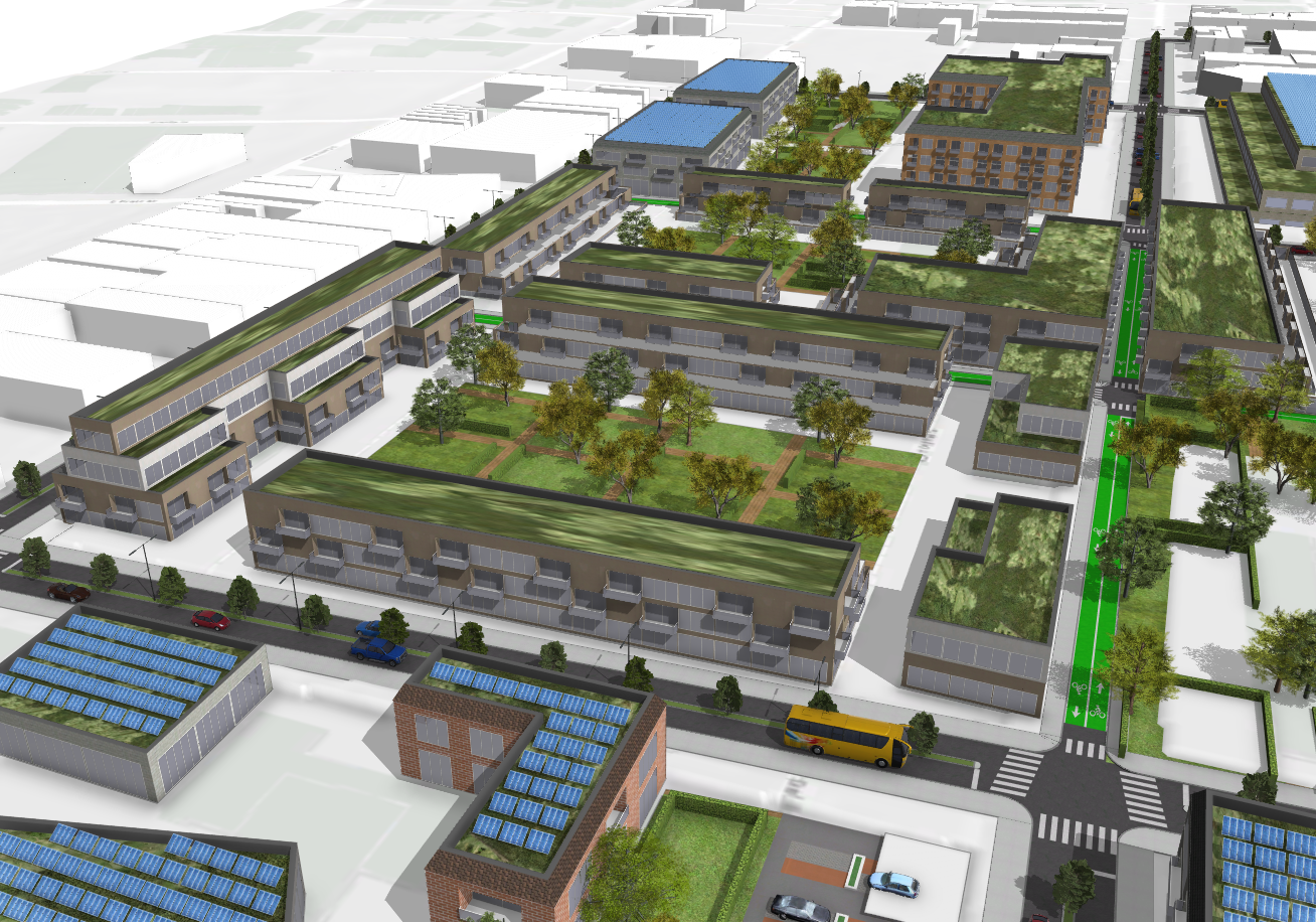
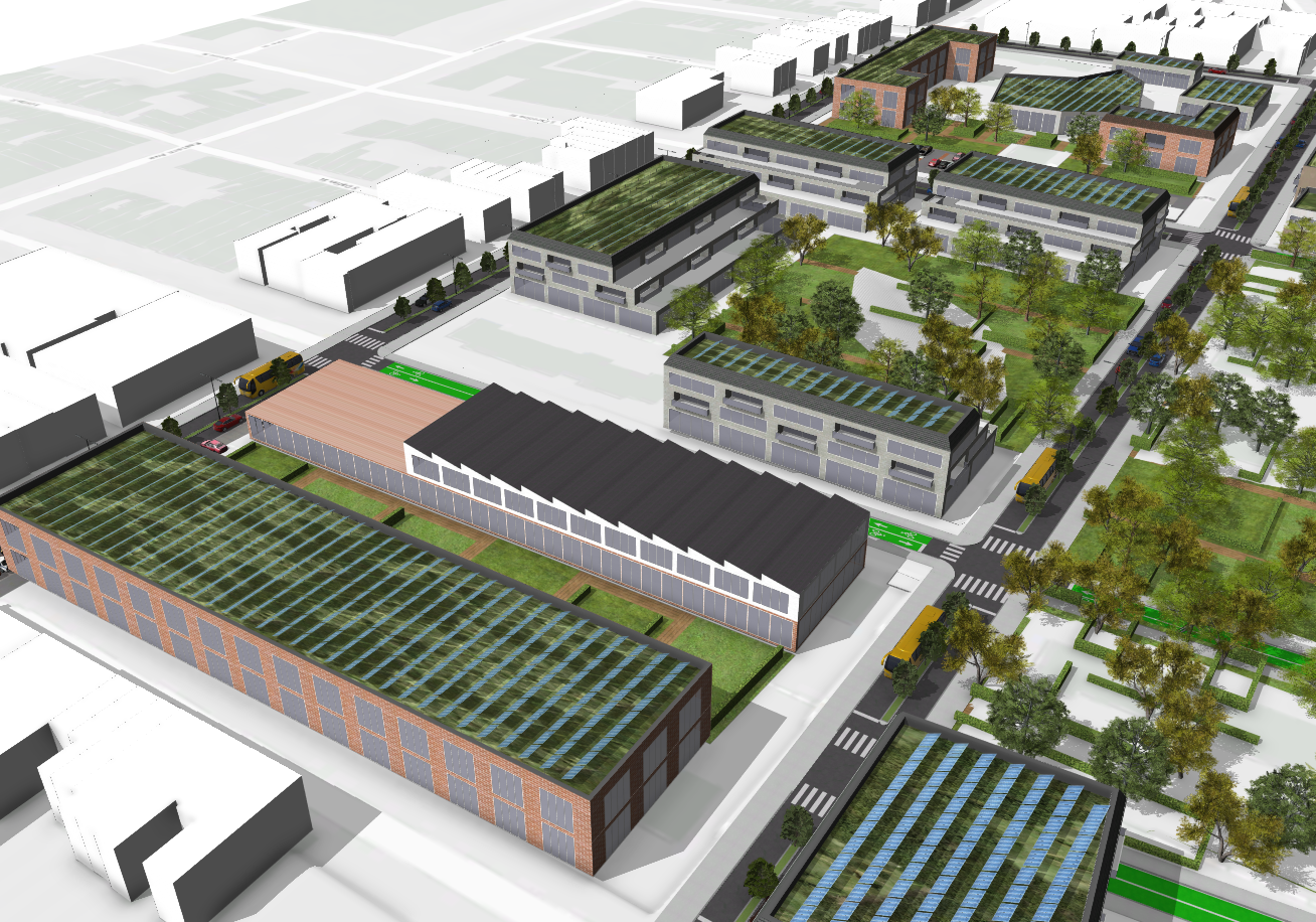
Part 2: City Engine Development Screenshots - Scenario 2: Perkins Homes Eco-District
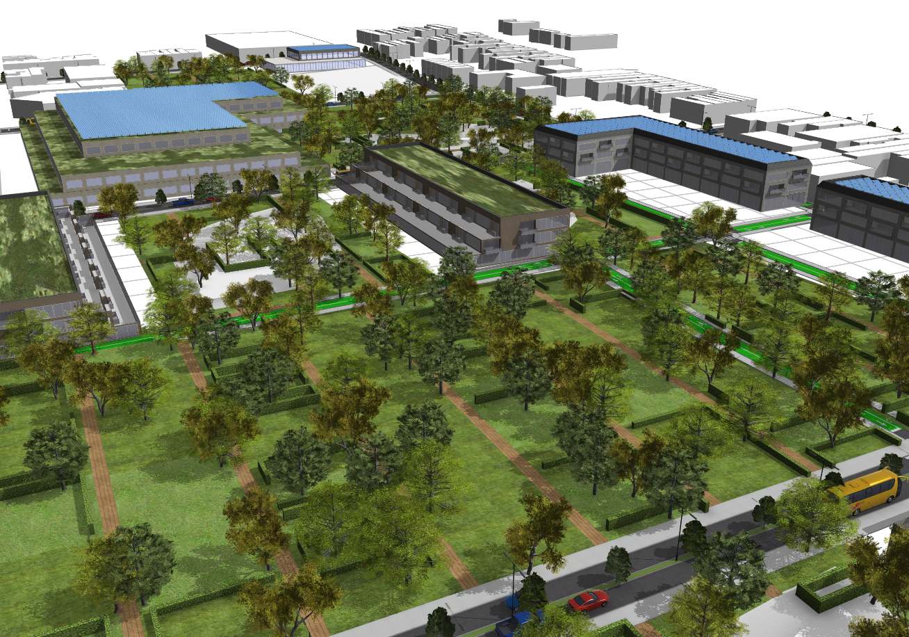
Aerial View of Project due North
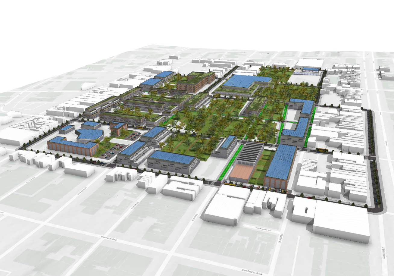
Aerial View of Project due South
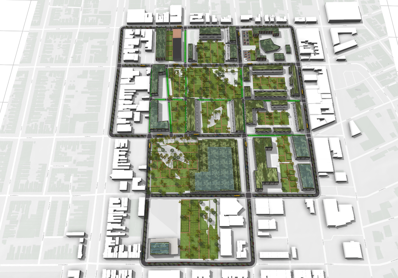
Plan View of Urban Organization
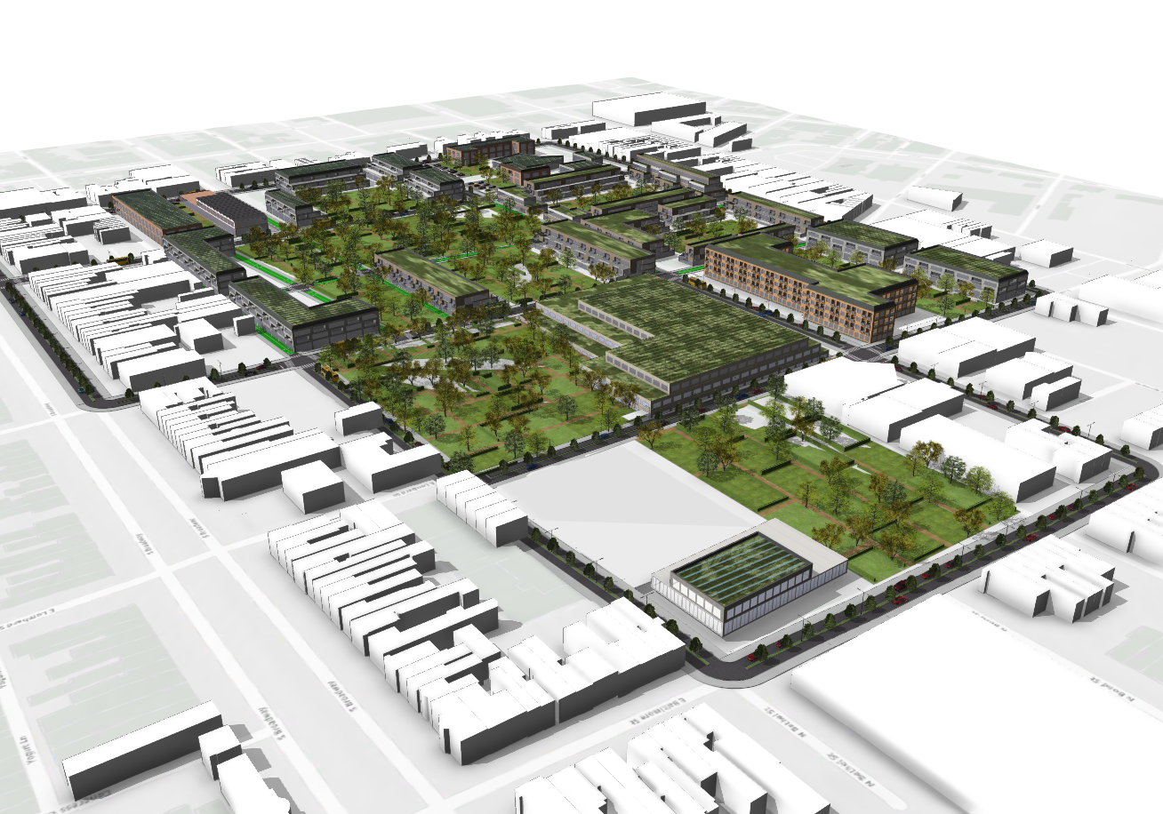
Affordable Housing (Front) / Student Housing + Mixed Use (Rear)
Mixed Use / Commercial Zone