Thomas Jefferson University | GEOD-625 | Fall 2023 | Professor Aaron Fraint
"This course introduced students to the mapping and analysis of geospatial data, with a focus on creating interactive web-based maps that can communicate a specific topic to a specific audience. The main focus of this course was GIS fundamentals and the point-and-click software-as-a-service (SaaS) tools that exist and allow for creation of interactive web maps, including ArcGIS, CARTO, Felt, and others."

Overview of thesis topic that guided the development of this research
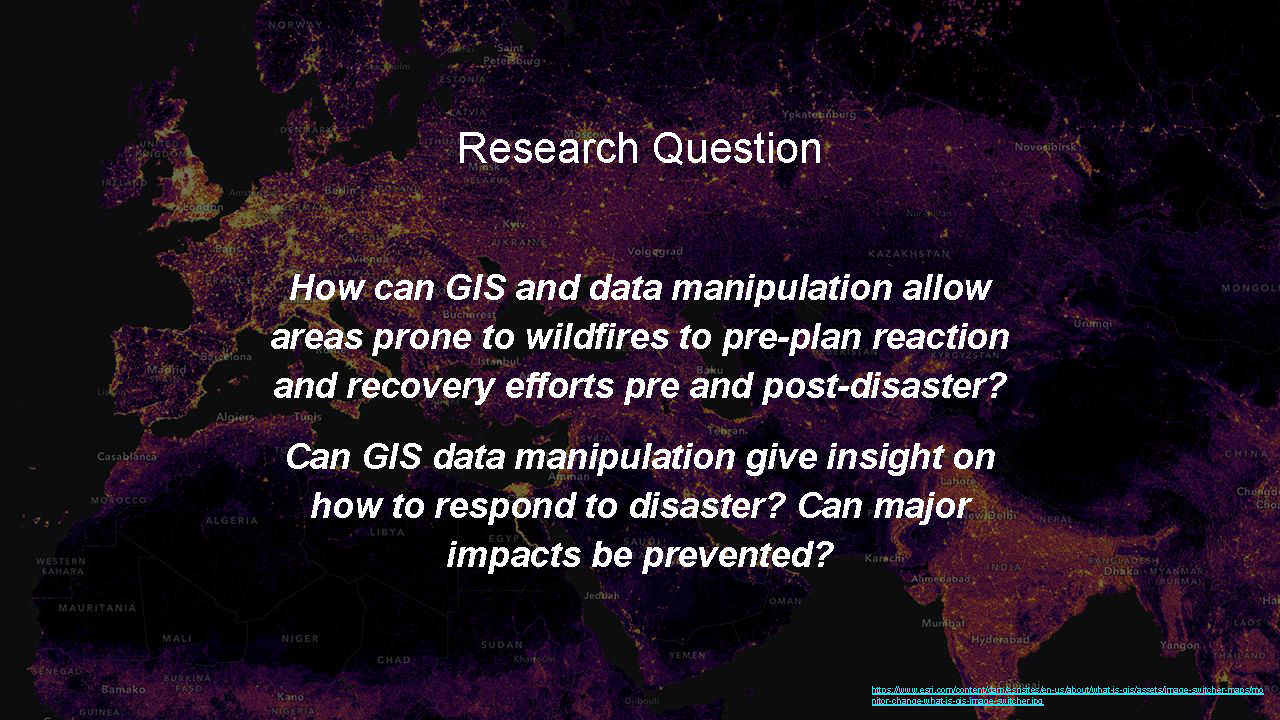
Research question that the overall project revolved around
Over the semester, students developed a proposal for an interactive map that they will ultimately create as part of their final project. The final project was a set of interactive maps for the people of Hawaii to be used as a pre-planning tool to fire disasters. Below is the link to the final deliverable, a culmination of research, data collection, manipulation and interactivity. This was developed as a portion of the overall deliverable created in the Thesis II | M.S.S.D - 2024 page.